Candidate LLD: Chiltern Chalk Escarpment Footslopes LLD
Summary information
Extent of area
This area is located adjacent to the Chilterns National Landscape, extending to the north, east and west of Watlington. The LLD encompasses the undulating slopes of the Chilterns footslopes, with the northern boundary located where the landscape transitions to the lower, flatter vale landscape. The settlement edge of Chinnor forms the eastern boundary of the LLD. Benson Airfield is located on the south-western boundary.
Landscape character context
The LLD includes parts of the following Landscape Character Areas:
- LCA 6B: Chiltern Chalk Escarpment Footslopes
- LCA 9D: Eastern Vale Edge Slopes
- LCA 11C: Eastern Upper Vale
- LCA 12C: Eastern Middle Vale
Location of Chiltern Chalk Escarpment Footslopes LLD - View map full screen
Statement of significance
A relatively intact landscape of rolling arable land mixed with grazed pasture, contained within a connected hedgerow network with mature hedgerow trees. Associated linear belts, clumps, hedgerows and blocks of woodland create structure within this generally intensively managed arable landscape and contribute to a sense of intactness. Well-managed parklands and designed estates punctuate the farmed landscape and contribute to a sense of time-depth and local distinctiveness. A network of minor watercourses arising at the chalk springline intersects the landscape, draining in a north-westerly direction to the vale. Historic villages are defined by their historic cores of vernacular brick, flint, limestone buildings, churches, and stone walls, with buildings set back on wide grassy verges. The landscape has a strong traditional rural character with high levels of tranquillity and few detracting features. Long views to the Chilterns escarpment to the south provides a dramatic backdrop and enclosure.
Summary of special landscape qualities
- The rolling topography provides a clear link between the vale landscapes to the north and chalk escarpments to the south, linked by historic holloways and tracks.
- Frequent scattered woodlands contribute to the natural heritage of the landscape and provide visual interest within the landscape.
- Parkland and estate landscapes which provide a well-managed ornamental character and a distinctive sense of place and time depth.
- Historic, nucleated villages at Brightwell Baldwin, Pyrton, Lewknor, Cuxham, Aston Rowant and Kingston Blount with a strong vernacular of brick, flint and stone, provide time-depth.
- Highly rural character, with limited modern distractions or developments.
- Strong visual relationship with the adjacent nationally designated landscape of the Chilterns National Landscape.
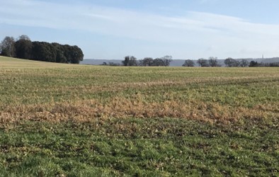
Open pasture field with long views to the Chiltern hills
×![]()
Open pasture field with long views to the Chiltern hills
Grazing cattle with wooded backdrop

×![]()
Grazing cattle with wooded backdrop
Full evaluation
Local distinctiveness and sense of place
- Gently rolling landscape of undulating chalk with some small local hills which add topographic interest.
- Parkland and estates are frequent features, with characteristic tree avenues, estate fencing and mature individual trees standing in pasture.
- Small-scale nucleated historic villages have grown around the estates, many with listed buildings and a strong vernacular of brick and flint.
Landscape quality (condition and intactness)
- Large-scale rectilinear fields are bounded by a mix of species-rich hedgerows and arable field margins, with some mature hedgerow trees. Occasional reinforcement of hedgerows with post and wire fencing. A large stud farm at Aston Rowant is well integrated into the landscape by mature vegetation.
- A rural and generally undeveloped landscape with few detracting influences, including a lack of vertical features in views.
- A former quarry south of Chinnor is naturally regenerating, and the re-establishing vegetation is softening the stark landscape formed by extraction.
- Intact historic features including designed parklands contribute to sense of time-depth in the landscape.
- The historic cores of the villages are defined by a strong vernacular of brick, flint and stone and are often designated as Conservation Areas.
Scenic qualities and perceptual aspects
- The rolling landform results in sequences of views and variation between openness and enclosure when travelling through the area. Expansive views are possible across the lower-lying vale to the north-west, and there are also glimpsed views north towards to the north of the wooded Corallian Limestone Ridge. The distinct wooded scarp of the Chilterns National Landscape forms a prominent backdrop to the south.
- A rural and generally undeveloped landscape with few detracting influences, including a lack of vertical features in views.
- The M40 runs through the centre of the landscape, with junction 6 in the south-east. The motorway is audibly detracting; however, it is generally hidden from view by vegetation. Occasional noise is heard from low-flying aircraft at the nearby RAF base at Benson.
Natural and cultural qualities
- Small, isolated areas of woodland are a frequent feature across the landscape, much of which is identified as priority habitat deciduous woodland; there are also some areas of ancient woodland in the east, including Wheatfield Wood to the east of Stoke Talmage.
- Chinnor Quarry is designated as a geological SSSI and its ponds are important for migrating birds, forming an ecological network with other former quarries along the escarpment and within the Chilterns National Landscape.
- Small settlements, typically nucleated around the church and manor retain the strip parish pattern, allowing seasonal movement between the vale and wooded slopes. The settlements retain a parkland character, with formal features such as avenues and free-stranding mature trees in pasture. Many of the farmhouses and churches are now listed. Aston Rowant, Berrick Salome, Brightwell Baldwin, Cuxham, Kingston Blount, Lewknor, Pyrton and Shirburn are covered by Conservation Areas. The typical parkland features of avenues and free-standing mature trees in pasture are clearly evident. Further parkland landscapes are found at Aston Rowant, Brightwell Baldwin, Britwell Salome, Kingston Blount, Pyrton Manor and Wheatfield Park.
- Historic routeways the Ridgeway and Lower Icknield Way are important links across the spring-line and escarpments, and are known as some of Britain’s oldest roads.
- Shirburn Castle Registered Park and Garden is an 18th and 19th century garden and pleasure grounds on the site of a 14th century castle (now Grade I listed).
Recreation value
- A lattice work of public rights of way, including numerous holloways and ancient tracks, connect the vale to the north-west with the chalk escarpment to the south-east. This includes the Lower Icknield Way and Ridgeway. The Oxfordshire Way Long Distance Path also runs through the east of the area.
Associations
- Shirburn Castle has been used a film location for a number of successful films and television series, including Inspector Morse, Midsomer Murders and Sherlock Holmes: A Game of Shadows.
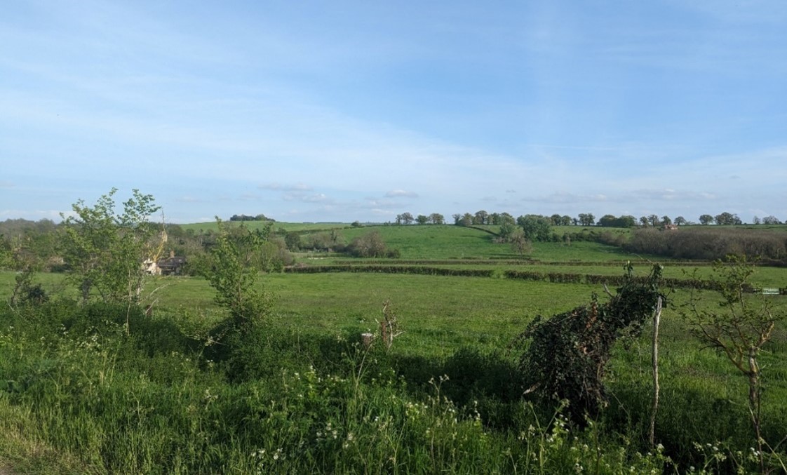
Kingston Wood forms a backdrop to the edge of Kingston Blount
×![]()
Kingston Wood forms a backdrop to the edge of Kingston Blount
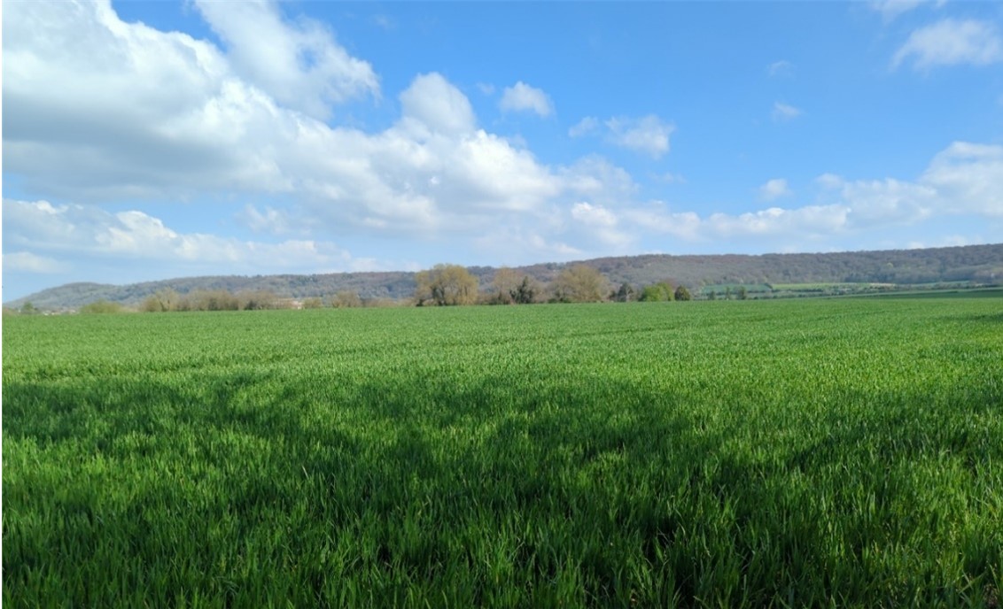
Mature hedgerow trees along field boundaries in distance
×![]()
Mature hedgerow trees along field boundaries in distance
Landscape guidelines
Guidance to protect/conserve current landscape character
- Encourage management in parklands and support plans for restoration where appropriate. Conserve and appropriately manage veteran trees within parkland areas.
- Protect the experiential qualities of the landscape, particularly the high levels of tranquillity and intact rural character.
Guidance to manage landscape character
- Support appropriate management and restoration of parkland and historic landscapes through (for example) the planting of a new generation of specimen trees and extensive grassland management.
- Encourage traditional farming practice and maintain and restore orchards and other horticultural uses where appropriate, including the remaining older orchard trees which have visual and biodiversity value and sense of time depth.
- Encourage landowners to manage woodland appropriately, including to reduce the impacts of pests and diseases and to increase the age structure and structural heterogeneity of woodland. Consider the promotion of natural colonisation adjacent to existing woodland, allowing locally native species to develop resilience to the pressures of climate change through natural processes.
Guidance to plan (enhance, restore, create) landscape character
- Encourage landowners to develop a woodland management strategy to conserve existing woodlands (including ancient woodland) and extend woodland where appropriate. Ensure any new woodland planting is respectful of local character and ecological conditions and maximises opportunities to link with other habitats.
- Restore historic hedgerow field boundaries which have been lost to agricultural intensification to improve the legibility of historic field patterns and strengthen landscape character and structure, and enhance ecological corridors.
- Ensure any new development respects the existing nucleated settlement form, and avoids any coalescence or perceived coalescence between distinct settlements.
- Any new development should consider using materials which fit with the local vernacular of brick and flint.
- Consider views to and from the Chilterns National Landscape when planning new development. Avoid new development in visually prominent locations, particularly where this might be visible from the vales to the north.
- Where possible use existing landscape features to integrate, contain and/or screen new development.
- Consider the impact of lighting on dark skies, both locally and on views from the Chilterns National Landscape and the lower vales (refer to the guidance in the Dark Skies / Light Impact Assessment for South Oxfordshire and Vale of White Horse).