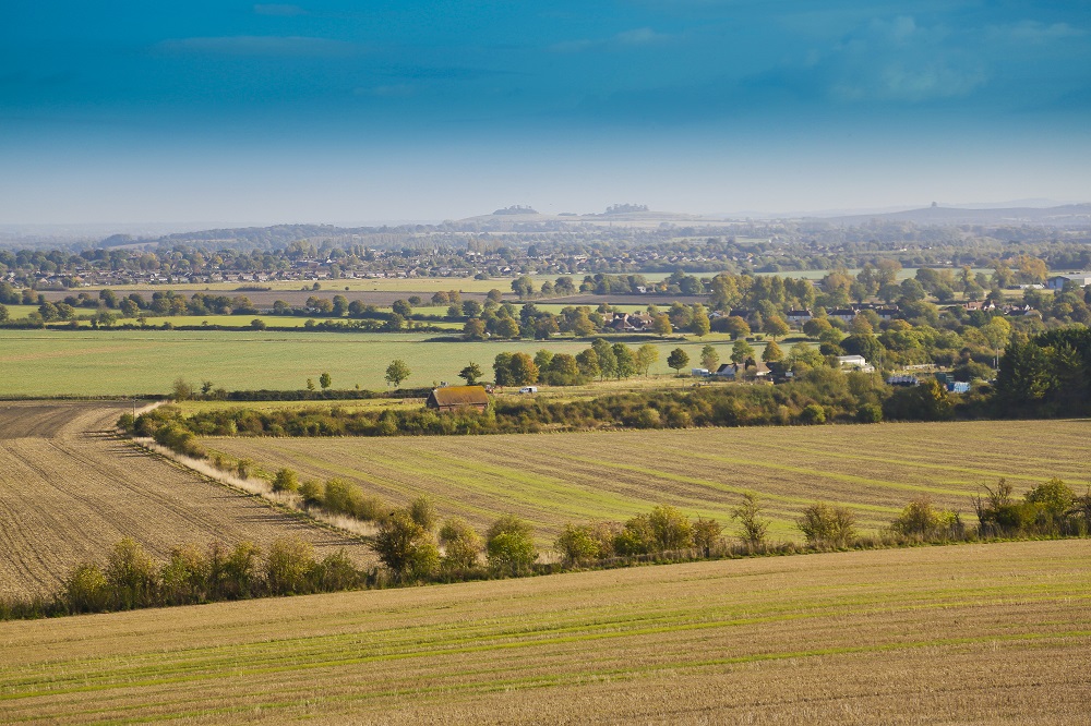
Landscape Evidence Base
Use the buttons below to explore the findings of six components of the Landscape Evidence Base in South Oxfordshire and Vale of White Horse Districts commissioned in 2023.
This report describes and maps relative levels of tranquillity across South Oxfordshire and Vale of White Horse District Councils. It also includes a user guide giving recommendations on how the tranquillity assessment can be used to protect, enhance and create tranquillity through development.
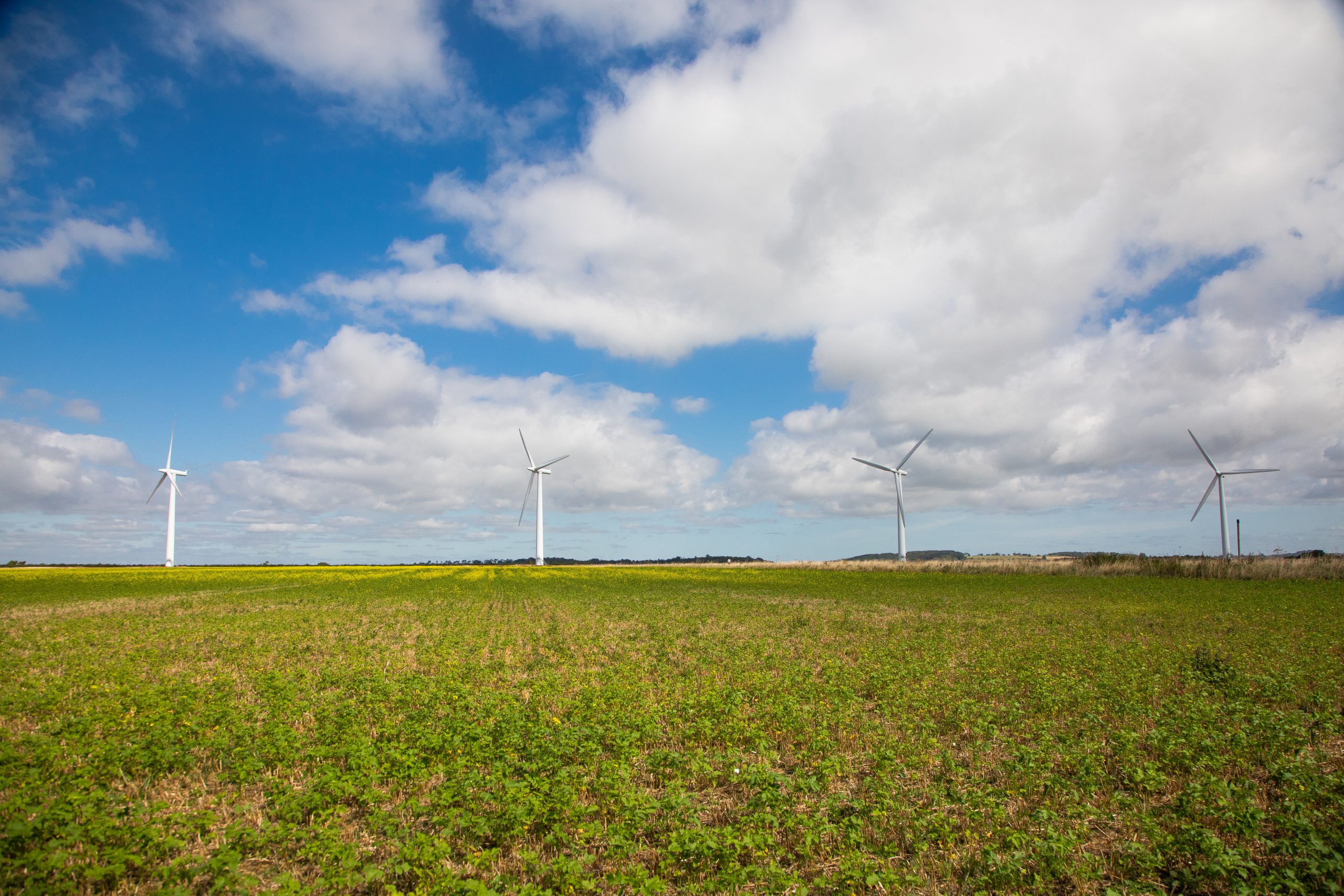
This report provides a Landscape Sensitivity Assessment for wind energy and solar photovoltaic schemes. It provides judgements on the landscape sensitivity of different parts of South Oxfordshire and Vale of White Horse to these forms of energy development.
This map shows the outcomes of the six components of the Landscape Evidence Base. The workstreams are the Dark Skies Assessment, the Tranquillity Assessment, the Landscape Character Assessment, Local Landscape Designations, Landscape Sensitivity to Renewable Energy Development and to Settlement Edge development.
More detailed maps are available in each of the studies accessible via the buttons above. Click on the features within the map to see more information about them.
It should be noted that the lines used to denote where LCAs border settlements are approximate and should not be used for planning purposes.
You may find it easier to explore the map by opening it in a new tab by clicking HERE.